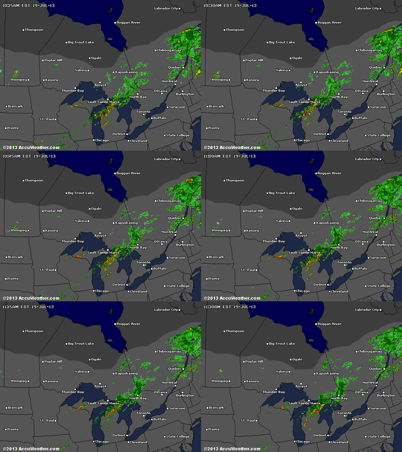
1:13 PM update: Pembroke getting hammered now. A few popcorn storms are appearing in advance of the main line.
As I postulated on Tuesday, there is a strong cold front coming through later today bringing cooler temperatures for a few days.
However, its approach will also stimulate some feisty weather. Env. Can. has issued a Tornado Watch. I think is interesting because they haven't issuing a Severe Thunderstorm watch and, as you know, one begets the other. Anyway, it is unlikely but not out of the realm of possibility that a tornado will spin up.
The main line of severe weather is crossing Georgian Bay right now but individual storm may pop up in advance of it.
Just be aware.

No comments:
Post a Comment